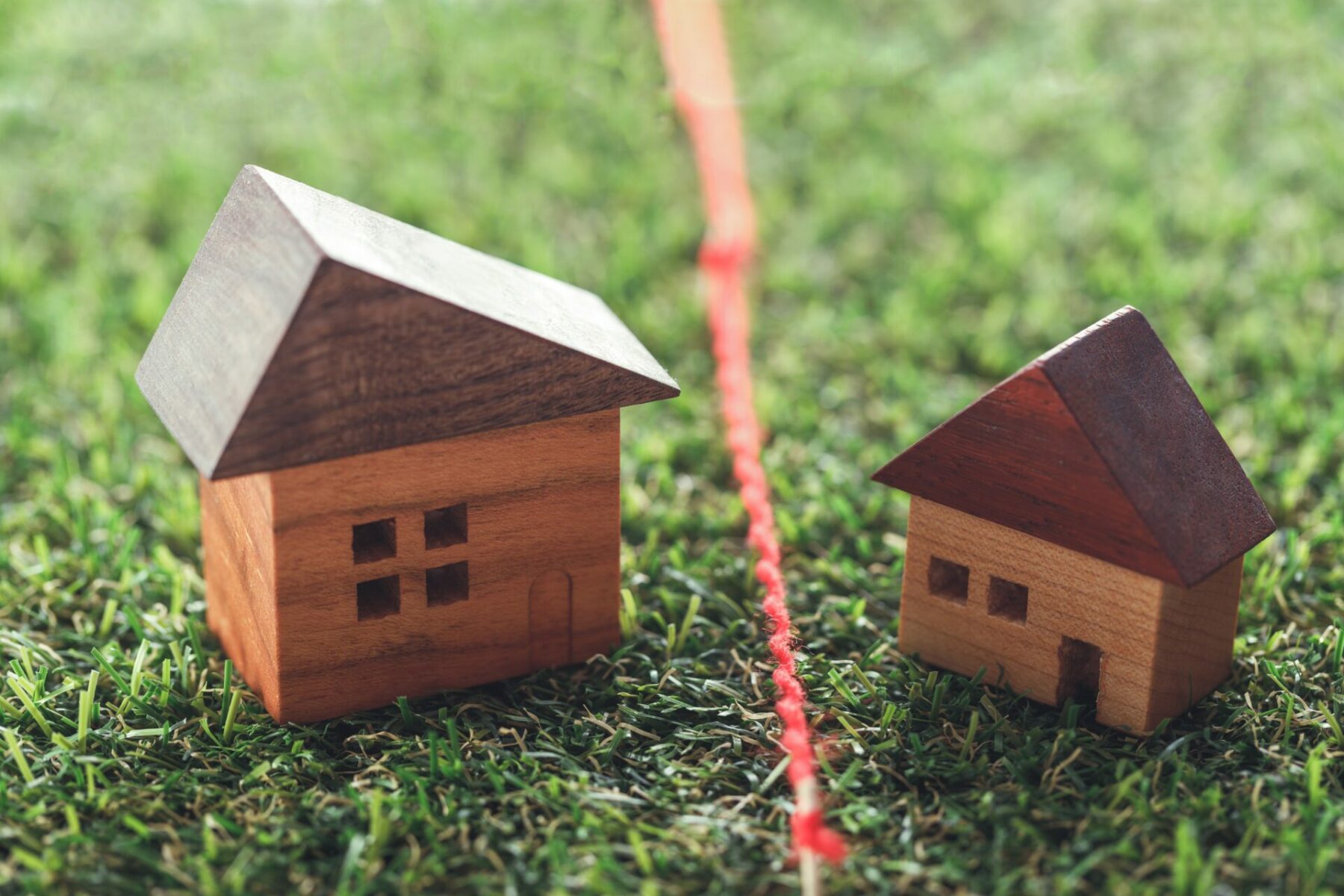
Many boundary disputes arise from misunderstandings or a lack of communication between neighbours, but rapidly escalate into cripplingly expensive litigation. It’s essential that if you’re affected (whichever side of the fence you’re on) you get proper legal advice from a Solicitor or Barrister before getting sucked into what could become acrimonious, stressful and lengthy proceedings. This article outlines some potential issues which you should be considering at an early stage.
Why is establishing the correct position of a boundary often so difficult?
The starting point for the determination of a boundary will be the deeds, usually now in the form of a Land Certificate from the Land Registry, but it may also involve looking though previous Conveyances, Deeds, Transfers and plans dating back, in some cases, hundreds of years.
Beware – plans, measurements and descriptions in deeds can be inaccurate either from the outset or because of changing circumstances. They cannot be relied upon. It is not unusual for older plans referring to the width of neighbouring properties to simply not match what was built (or has been built subsequently) or for there to be a dispute about the accurate location or extent of a ‘fixed’ point or feature from which various plots have been measured.
The Ordnance Survey maps used as a base for the Land Certificate may predate much of the local development of an estate or area, and be little more than an isolated plot without reference to new houses, roads, or features. Older plans may simply show a field which is now somewhere within a large residential estate. In any event the Ordnance Survey maps map physical features, with necessarily a limited degree of accuracy – about +/- 0.4 m see https://www.ordnancesurvey.co.uk/business-and-government/help-and-support/navigation-technology/pai.html, and do not define legal boundaries.
It is often unclear whether a line on a map refers to the middle or ‘outside’ edge of a hedge – which may now be over a metre wide. Nor can the Ordnance Survey accurately plot lines within buildings (party walls, etc.). When conveyancers outline the plots on the new plans they end up creating a thick line (usually originally red, but subsequently photocopied and now black) which, scaled, would be a couple of metres wide on the ground. Or they may have changed the colour scheme adopted in earlier documents so that there is no ‘land shown hatched blue’ on the plan in the deeds. And as soon as someone photocopies a plan the accuracy of the original is lost, especially where plans have been enlarged or reduced to fit the requirements of the particular document or circumstances.
How will a court determine where my boundary lies?
A court faced with contradictory or inconsistent deeds will look to ‘extrinsic evidence’ when seeking to determine the true position of a boundary; these include a wide variety of sources including the conveyancing file for the purchase (e.g. Pre Contract Enquires and Replies, Searches, Sale particulars, etc.), information from neighbouring properties’ deeds, historic maps (but see above for the problems associated with maps, ancient or modern), photographs (assuming it is possible to accurately locate what is shown, and that, for example, a thirty year old photo of a new puppy or a child playing in the garden shows enough of the hedge or fence to identify where it puts a boundary feature). Aerial photographs can be useful (especially when determining land use or the general shape of a boundary), but even when the picture is taken from directly overhead, when there is little of no foliage on the trees, it is often hard to identify fine details or features with any significant accuracy.
Traditional inferences (e.g. the presumption that a party will build a wall on their land, or a ‘hedge and ditch’ will mark the boundary of an agricultural field) and analysis of the topography and boundary features may provide further clues, or information about who has historically maintained a hedge, wall or fence, but again, there are often contrary interpretations or recollections as to who did what and when.
In short, there are any number of factors which a court may consider when determining the true boundary between two properties, and the court is entitled to give what weight it feels appropriate to each element in order to reach a decision on all the evidence. The fact that the court rejects your (or your neighbour’s) interpretation of one aspect does not mean the other side wins; it is just another pebble in the overall balancing exercise.
How much might a boundary dispute cost me?
When each of you could easily rack up costs of £20,000 – £30,000 in a long-standing dispute, and there is the real prospect of the loser having to pay both sides’ costs it is easy to understand why a boundary disputes over even a narrow sliver of land worth virtually nothing could result in your having to sell your property to meet the costs of the proceedings.
What should I do if I’m concerned about a boundary issue with my neighbour?
Direct Access provides you with an opportunity to get cost-effective, expert advice from barrister experienced in dealing with boundary disputes at an early stage, in order to assess the prospects of your case and to identify potential problems before matters progress too far; visit http://www.direct2barrister.co.uk/for more details.